Esri announces FEMA data-sharing portal for pandemic response

The mapping and geospatial data company Esri announced Monday that it’s been working with the Federal Emergency Management Agency the past three weeks to develop a new software platform that the federal agency and its partners across all levels of government can use to share data in response to the novel coronavirus pandemic.
Esri executives told StateScoop the new platform, which federal, state, local and tribal governments began using earlier this month, is similar to the public COVID-19 GIS Hub the company recently launched, except that it contains additional data sources contributed by FEMA-partner agencies such as state and local emergency management agencies and public health departments.
“One of the things FEMA’s looking for is where are the gaps in the data?” said Chris Albert, Esri’s director for global public safety. “So by having folks contribute their information in what they know and what’s going on, it starts to create this sort of shared awareness of what we know but also helps to identify what we don’t know.”
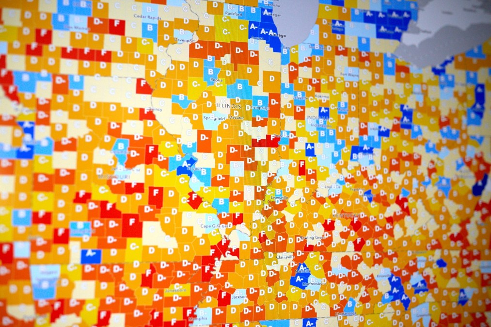
Trend data collected by local governments has played a central role in how officials respond to the health crisis as they create new policies and advise the public. The new platform contains “a collection of maps and apps,” Albert said, derived from data on COVID-19 cases, testing facilities, medical facilities, supply chains and medical equipment.
Esri is inviting its existing government customers to request access to the data-sharing platform by filling out a web form, while a stipulation in FEMA’s contract with Esri grants non-customers temporary access during “incidents of national significance.”
Though FEMA has primarily worked with emergency management and public health agencies in its response to the pandemic, Albert said he thinks the agency wants to expand the scope of participation on this platform to any government agency that might have useful data to share.
Patty Mims, who manages Esri’s global national government team, said she’s hopeful the platform can quickly bring transparency to government, making it easier for FEMA to identify, for example, COVID-19 testing locations, a data set she said the agency wouldn’t have access to without help from state and local agencies.
“That was one of the reasons to move forward with this application, to make it easier to share that information, to make it transparent and to make sure they were getting the most accurate information, which many times in this situation will be at states and the local level because of the fidelity of the information they’re collecting there,” Mims said. “Right now one of the struggles is the timeliness of information and I feel like we don’t have time for delays.”
Whenever the coronavirus pandemic has passed, Albert suggested the data-sharing platform might also be used in economic recovery efforts as people begin reopening their businesses.
“There’s the immediate need around the health emergency and getting that under control, but there’s also the longer-term effort that we’re going to be undertaking to get back to work,” he said. “I think the same types of information are organized beyond just at a local level, because the disease doesn’t follow our jurisdictional boundaries. We need to be able to share that information broadly so that we can make smart decisions about how we get the country moving again.”


